LAKE CARLOS STATE PARK
Sculpted by ancient glaciers, Lake Carlos State Park contains a tamarack bog, marshes, woodland ponds, and lakes. A variety of recreational activities revolve around the lake. Clear and deep, Lake Carlos offers visitors a perfect setting for swimming, fishing, boating, camping, hiking and horseback riding. In the winter, ski from the tamarack bog to a maple-basswood forest.
Early settlers drifted into the area after the signing of the Traverse des Sioux treaty in 1851. This treaty opened much of central Minnesota to white settlement. Alexander and William Kinkaid settled at the junction between Lake Agnes and Lake Winona, the area that was to become the town of Alexandria. During the U.S./Dakota conflict of 1862, most of the settlers moved east to Sauk Centre and St. Cloud, but returned to the area later that year. During the Great Depression, the state purchased the land that became Lake Carlos State Park in 1937.


 Share Your Lake Carlos State Park Photos (click here)
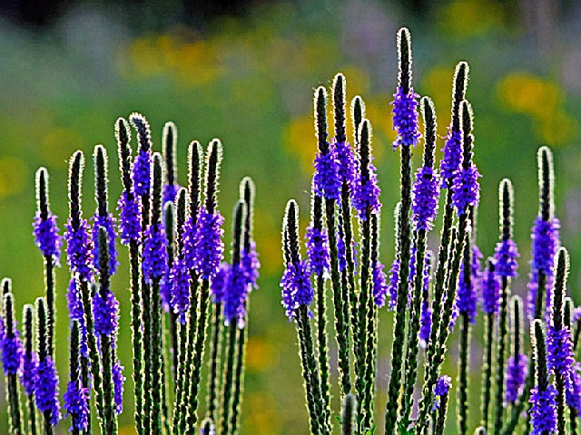