OZARK NATIONAL SCENIC RIVERWAY
Ozark National Scenic Riverways is the first national park area to protect a river system. The Current and Jacks Fork rivers are two of the finest floating rivers you'll find anywhere. Spring-fed, cold and clear they are a delight to canoe, swim, boat or fish. Besides these two famous rivers, the park is home to hundreds of freshwater springs, caves, trails and historic sites such as Alley Mill.
 Alley Spring and Mill
Alley was home, farm, and school for people who lived here a century ago. Dances, baseball games, and roller skating were all part of Alleys busier days. John Knotts purchased the 80 acre site in 1902 and diversified the enterprises to include a well-stocked store and blacksmith shop.
A mill was vital to community life, where grain was ground to provide
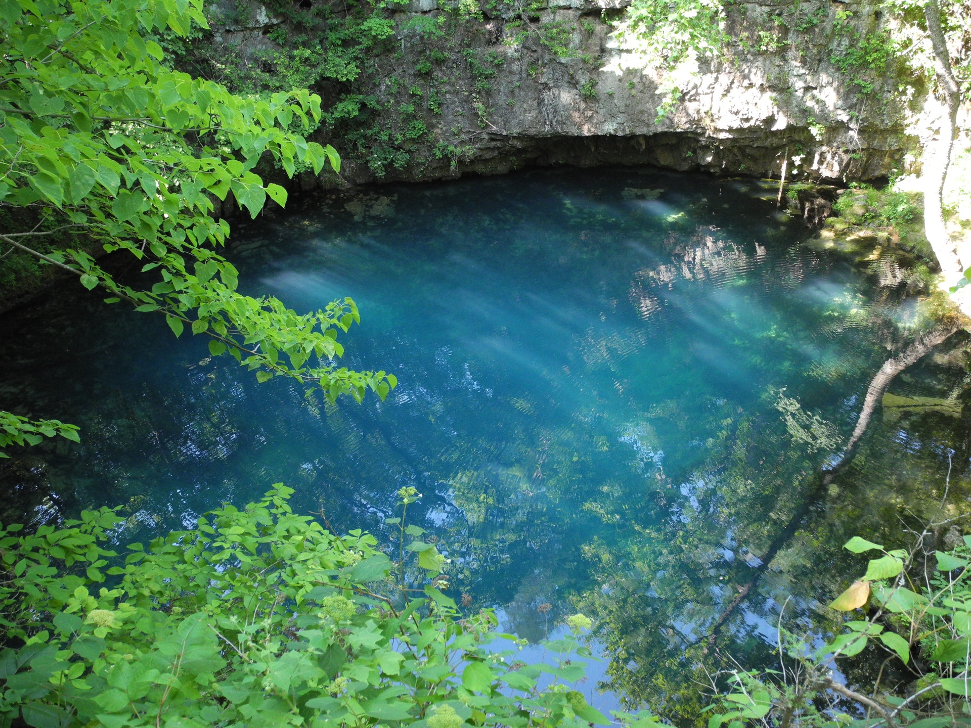
....moreRound Spring The Round Spring area is home to a family campground, a picnic area, a tour cave and the spring from which it takes its name. Round Spring was a Missouri State Park from 1932 until 1964 when the people of Missouri donated it to the National Park Service to become one of the star attractions of the new Ozark National Scenic Riverways. Like Alley and Big
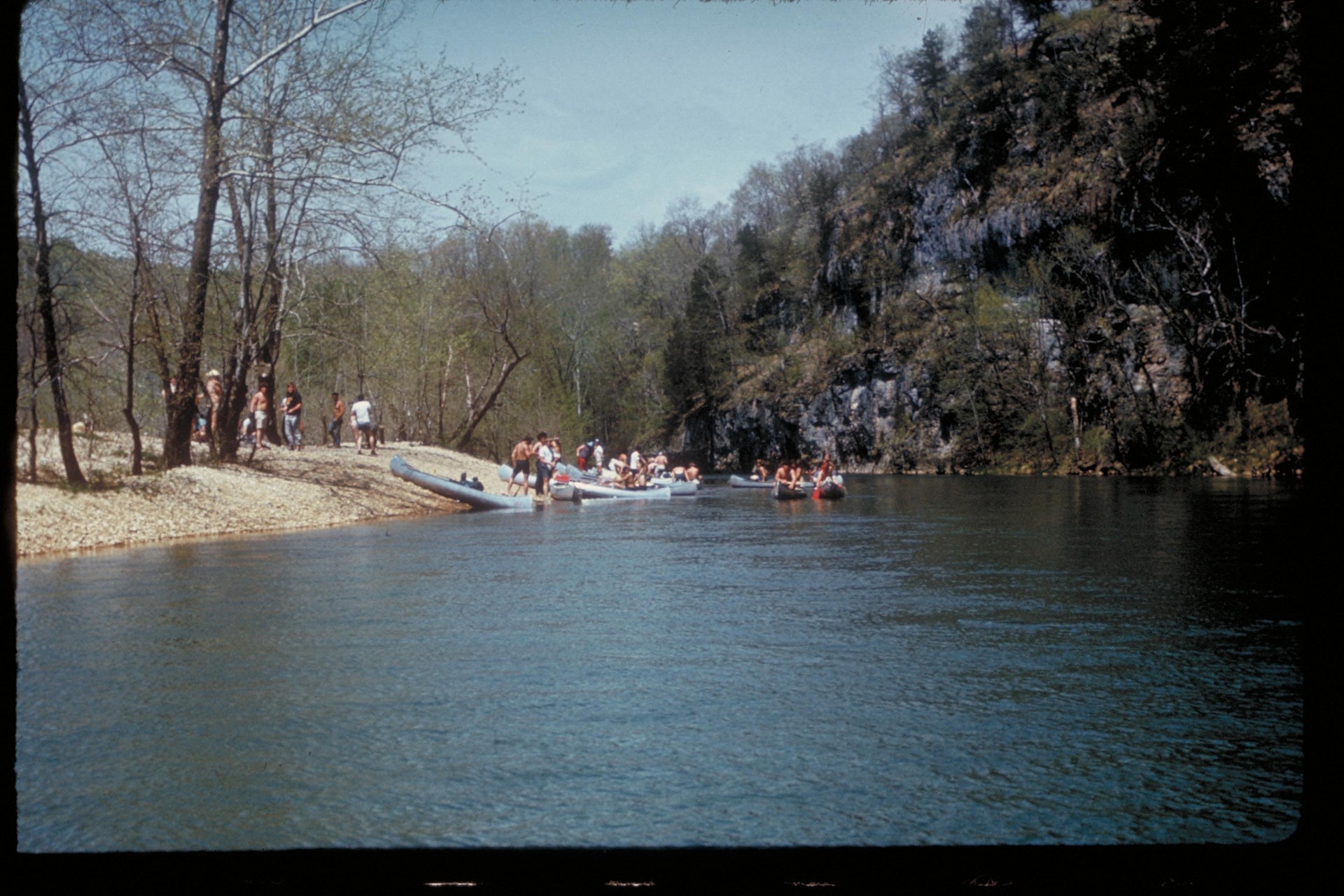
....more Two Rivers Campground In the rolling, forested landscape of Two Rivers, two of America's most beautiful spring-fed rivers combine to make up the Ozark National Scenic Riverways.
As the first national park area to protect a wild river system, visitors have plenty of scenic water activities to enjoy as well as hiking, horseback riding and wildlife viewing.Known for its caves,
....more
In Missouri, anglers can enjoy fishing in pristine rivers and streams. The waters are home to smallmouth bass and goggle-eye rock bass. Other species include largemouth bass, spotted bass, longear sunfish as well as catfish varieties like channel catfish and flathead catfish.
Fly-fishing enthusiasts will appreciate the trout populations found within these waterways; rainbow trout is particularly abundant due to regular stocking efforts by local hatcheries.
Fishing regulations vary depending on location so it's important for visitors to check current rules before casting a line.
Ozark National Scenic Riverway is
1. Ozark National Scenic Riverway offers numerous picnic areas with tables and grills near the river.
2. Picnic at Alley Spring, a popular spot featuring beautiful spring views.
3. Enjoy picnicking by Big Spring, one of America's largest springs.
4. Round Springs area provides serene spots for family picnics amidst nature's beauty.
5. Two Rivers is an ideal location to enjoy riverside meals while watching wildlife activity in Missouri's outdoors.
Bird watchers can enjoy spotting over 200 species, including bald eagles and wild turkeys. The park offers guided birding tours for enthusiasts to learn more about the local avifauna. Birders are also encouraged to participate in annual events like Christmas Bird Count.
The Headquarters for Ozark National Scenic Riverways is located at 404 Watercress Drive in Van Buren, Missouri. It's located at the corner of Watercress Drive and Main Street, across the street from the Van Buren Public School complex.


 Share Your Ozark National Scenic Riverway Photos (click here)
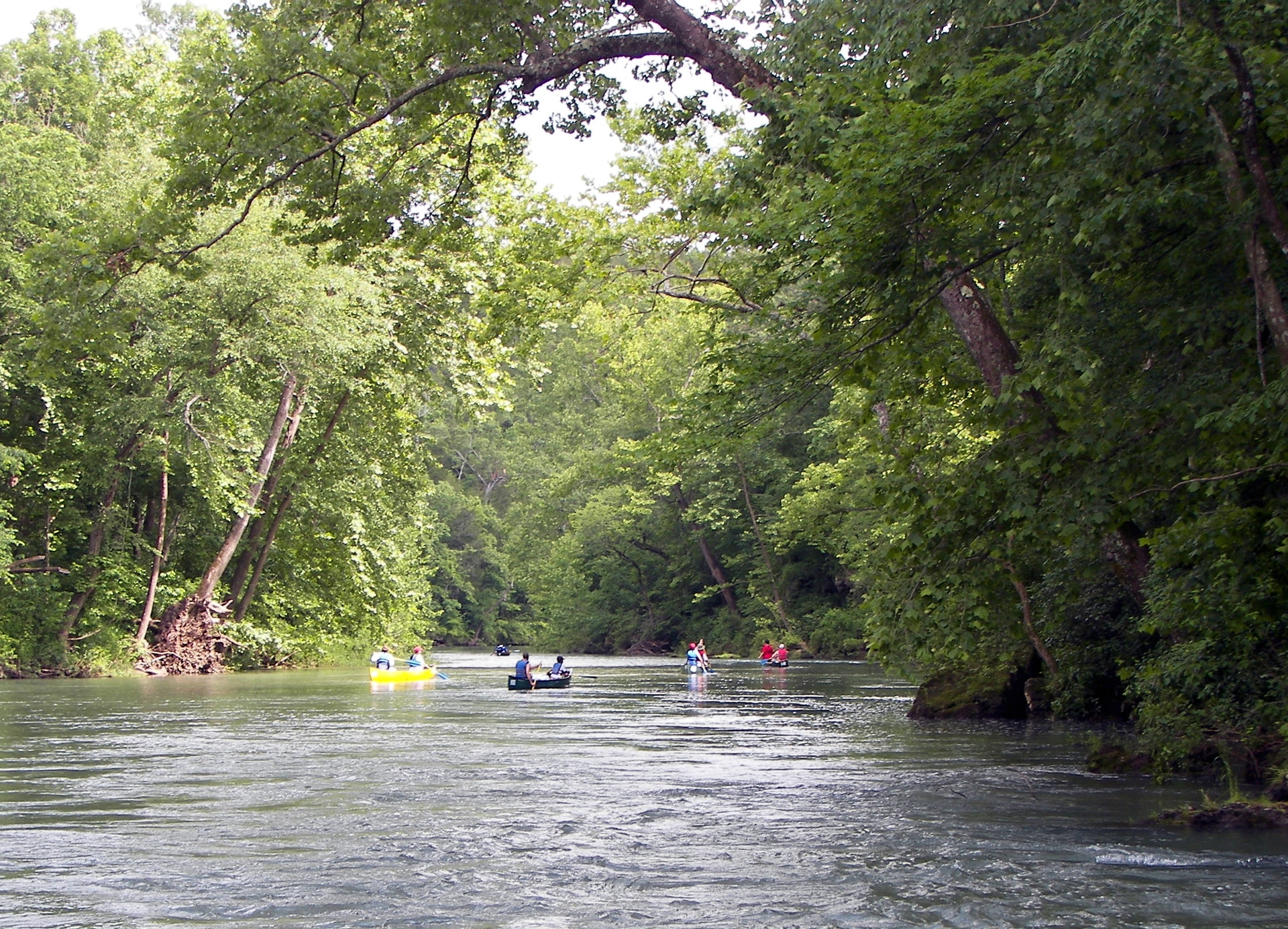