WENATCHEE CONFLUENCE STATE PARK
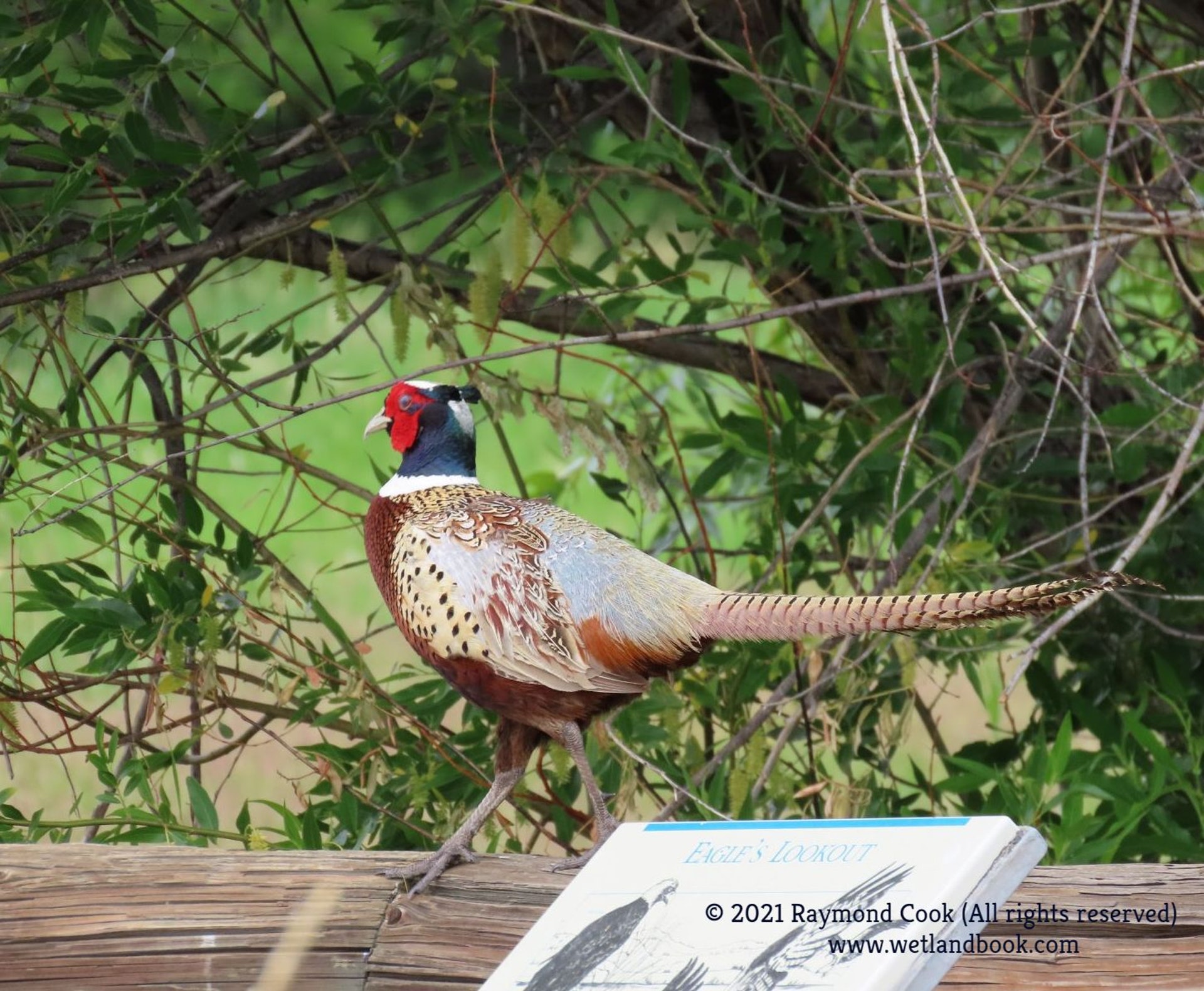
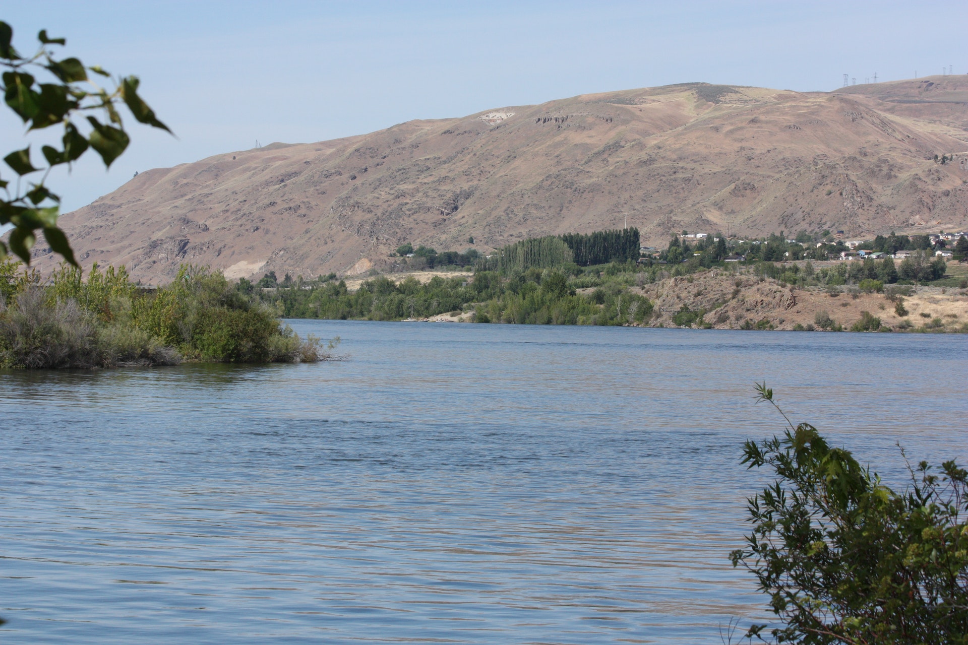
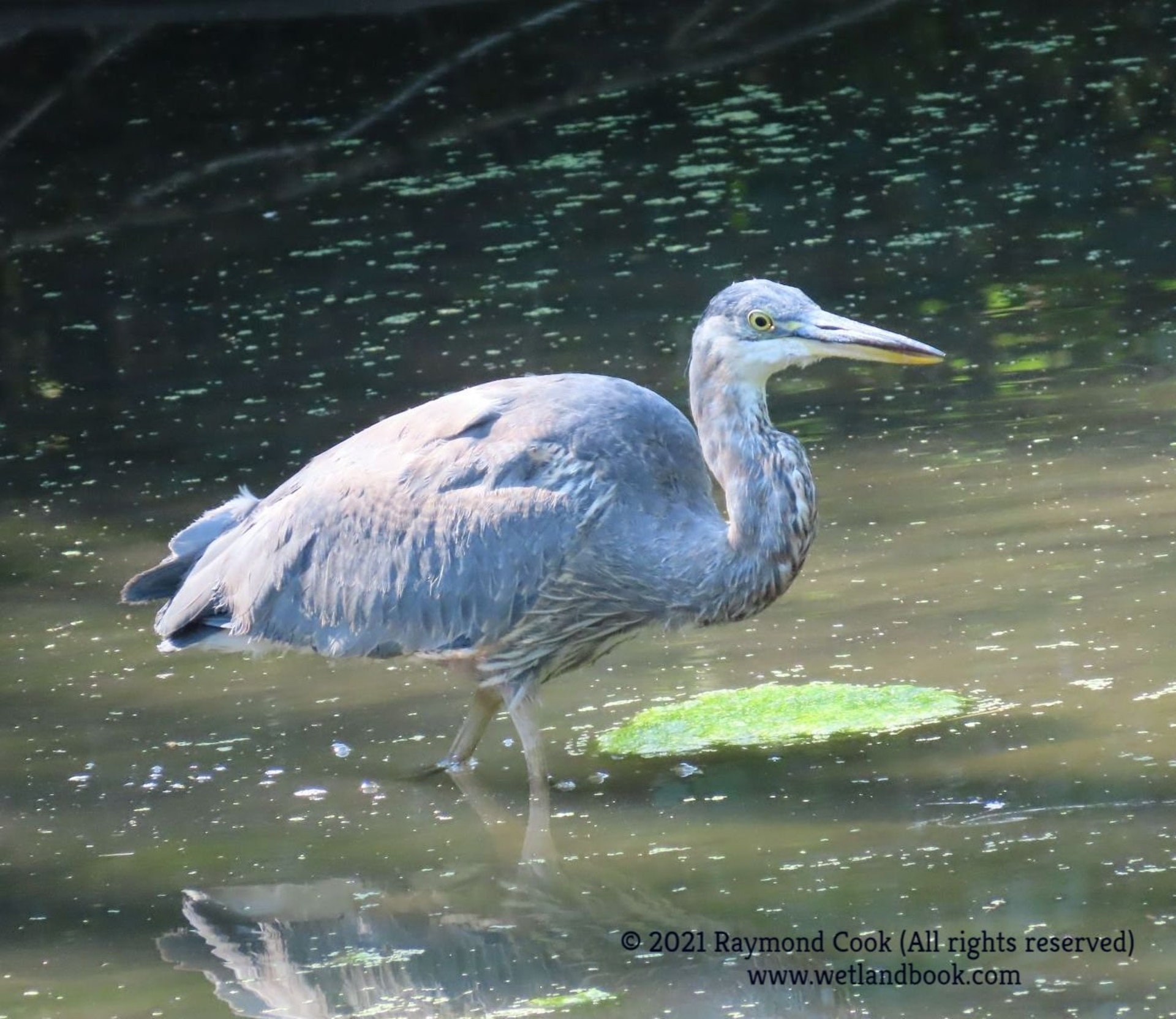
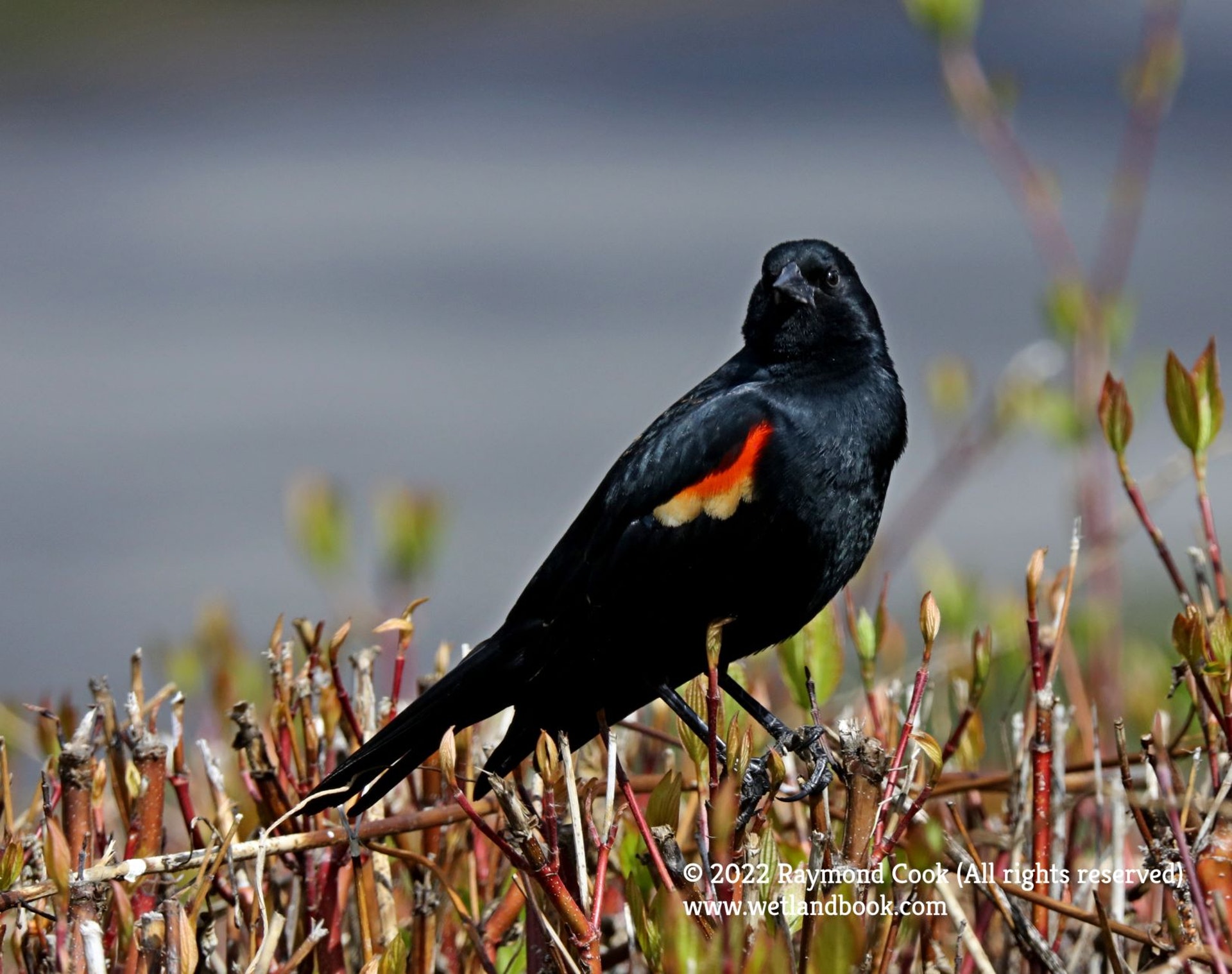
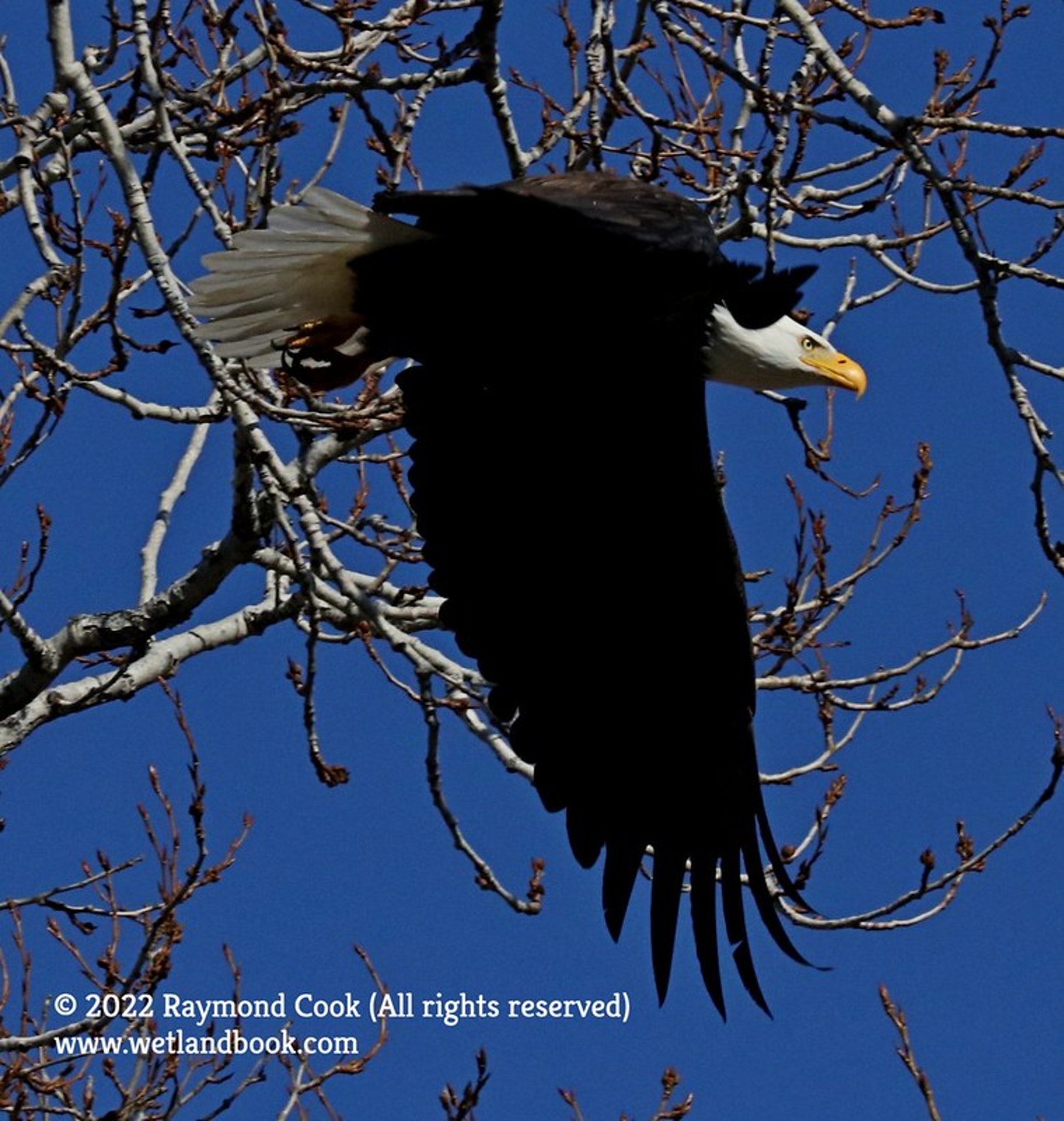
Wenatchee Confluence State Park is a 197-acre year-round camping park at the confluence of the Wenatchee and Columbia rivers. Situated at the edge of town, the park has two personalities. The North Confluence is urban and recreational, while the South Confluence is a wetland natural area. Muskrat and beaver may be seen in the rivers here. The park has shaded, grassy areas, sports fields, a roped-off river swimming beach, a boat launch and walking access to the Horan Natural Area.
As if in imitation of the two rivers that meet here, the park has a dual personality. The north portion is recreational, while the south section is a designated natural wetland area. Located in a comfortable urban setting, the park offers a roped-off swimming beach, a boat launch, tennis courts and play equipment for children. A pedestrian bridge crosses the Wenatchee River. Rock climbing and winter skiing opportunities are not far from the park.
In 1990, State Parks classified these park lands so that the north site would be a recreation area and the south site a natural area. The south site was designated the "Horan Natural Area," 97 acres of natural environment and wetlands.
A Discover Pass is required for vehicle access to Washington state parks for day use. For more information about the Discover Pass and exemptions, please visit the
Discover Pass web page.
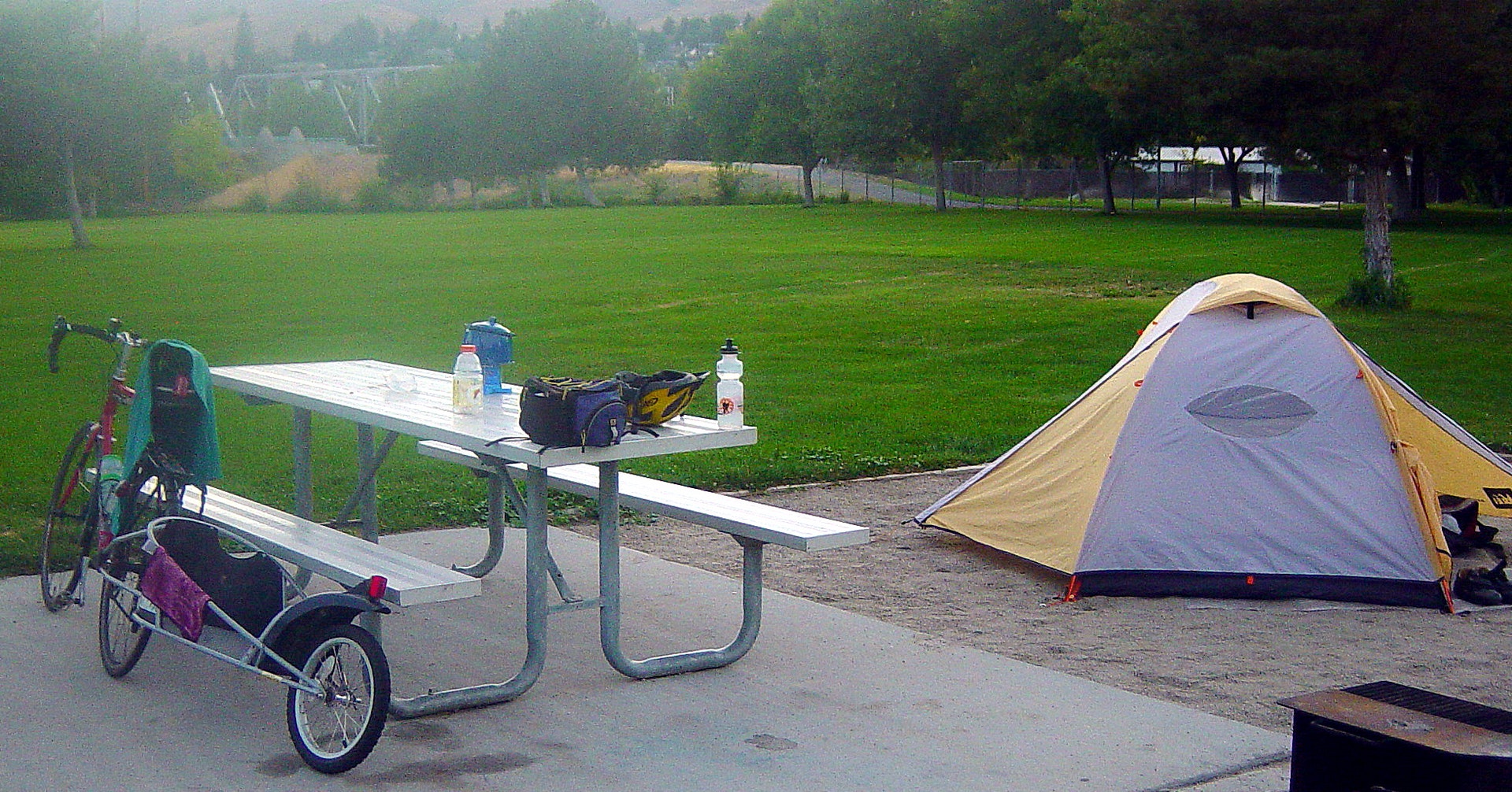
The park has eight standard campsites, 52 full-hookup sites, one dump station, six restrooms all ADA and 16 showers eight ADA. Maximum site length is 65 feet limited availability. All sites have a picnic table and campfire grill. Individual campsites are reservable from April 1 - September 30.
GROUP ACCOMMODATIONS
The park provides a group camp that accommodates 50 to 300 people. Fees vary with size of the group.
Located in Chelan County on the Columbia River, Wenatchee Confluence offers two-lane watercraft launch, and boat-trailer parking is available near the day-use area.
Anglers can enjoy river fishing at the confluence of the Wenatchee and Columbia Rivers, targeting salmon and steelhead. The park's ponds offer trout fishing opportunities for a more relaxed experience. Bass enthusiasts will find smallmouth bass in these waters as well. Fishing seasons vary; check regulations before heading out.


 Share Your Wenatchee Confluence State Park Photos (click here)
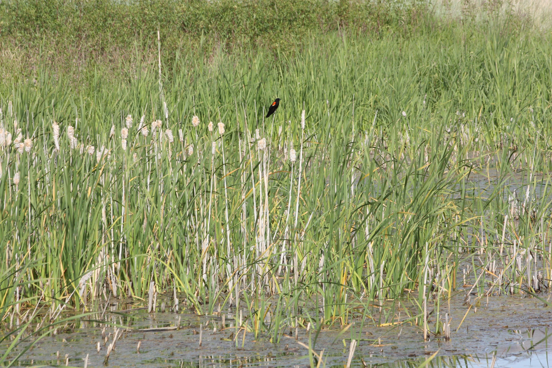